ORGANIZATIONS HAVE ALREADY BEGUN TO USE GIS TECHNOLOGY IN THEIR OPERATIONS.
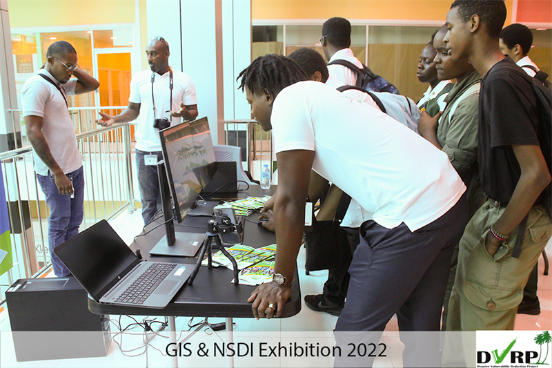 Public and private stakeholders hosted an exhibition of the varied uses of geo-spatial data and technology. The Occasion is the Geographic Information Systems (GIS) and National Spatial Data Infrastructure (NSDI) Exhibition.
Secondary school students were treated to a display of the wide-ranging use of mapping, census and drone technology. GIS is a computer system used for storing and displaying geographic information. NSDI is a mechanism using policies, standards and resources to collect, coordinate and share that information.
Kadaster International is a government mapping agency and land registry from the Netherlands. Regional Manager of Kadaster, H.H. Van der Vegt says his organization is tasked with assisting Saint Lucian agencies with the development of a NSDI.
“We are now working with the department of physical development and urban renewal for the development of spatial data infrastructure in Saint Lucia and in essence it means making, sharing of geo spatial information possible and improve it.”
Data gathered with the technology has potential to improve infrastructural planning, housing, disaster preparedness, traffic management, emergency services response time and even agriculture.
Joel Ramine is an Agricultural Engineer at the Ministry of Agriculture, Fisheries, Food Security and Rural Development. For his part in the Exhibition, Ramine explains the role drone technology plays in accumulating geo spatial data. “All of these are accessories for the drones and if you look across here, we also have on display, we have videos of drone shots, drones footage we have used and maps we have drones around the island to aid in disaster preparedness, post disaster monitoring, sargassum monitoring, and also flooding and river bank stabilization and many other fields we use drone technology in."
Geo spatial data can also be received from satellite images, weather data, cell phone usage and census data. Statistical Assistant in the Mapping Unit of the Central Statistics Department, Patrick Dujon asserts the importance of census data to development.
“Geo Spatial Data could be used for anything, it could be used to develop proper road networks, for example with the recent flooding, over the last week it could be used to demo where there could be flood plains and what could be the effects of flash flooding in specific areas and what would be the effects of flash flooding in specific areas around Saint Lucia, so it could be used in to developing better housing schemes. We can actually showcase what is known as informal housing and find better ways to provide better drainage, better road networks and provide better utilities or public utilities to those areas.”
GIS Supervisor of LUCELEC, Alana Francois-George says LUCELEC has already begun to incorporate the technology into their operations.
“If you called in with a fault for instance and you are able to give us the pole number that you are connected to we could show how the guys are able to zoom to that pole and see exactly where you are located to send that dispatch crew.”
Technology company Map & IT Solutions Ltd. highlights the potential of public and private partnerships in development. Managing Director, Jim Joseph says his company has created a platform to improve the operations Saint Lucia Fire Service.
“It manages the entire operations within the Saint Lucia Fire Service from the time a call comes into the Fire service to the time the fire men are dispatched to the different locations to the work that they do in the field and when they come back to office to do assessments “
NSDI is an initiative of the Disaster Vulnerability Reduction Project (DVRP). DVRP’s aim is to reduce Saint Lucia’s vulnerability to natural disasters.